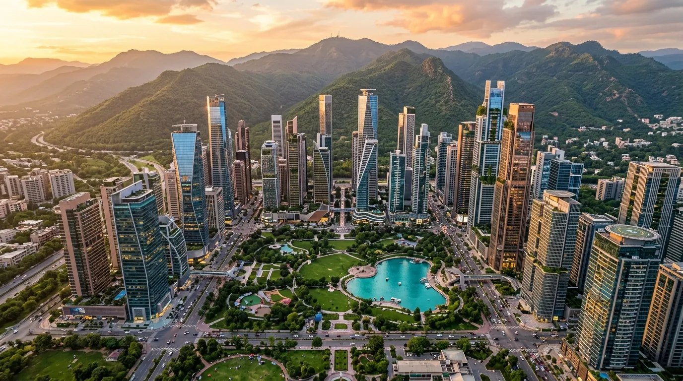
1. Precise GPS Coordinates & Site Boundary
The Manhattan District's announced location — "behind PM House" — corresponds to the undeveloped government-owned piedmont zone immediately north of the Prime Minister's Secretariat compound. Based on satellite imagery and topographic analysis, the approximate boundary polygon is:
Site Boundary Reference Points
- Southern Boundary: PM House rear perimeter wall / Margalla Road — approx. 33.7280°N
- Northern Boundary: Margalla Hills National Park reserve boundary — approx. 33.7580°N
- Western Boundary: Diplomatic Enclave periphery / Ataturk Avenue extension — approx. 73.0700°E
- Eastern Boundary: Malpur nullah / Faisal Avenue alignment — approx. 73.1000°E
- Centroid (Approx.): 33.7432°N, 73.0854°E — approximately 500m north of PM House gate
- Elevation Range: 530m to 650m ASL (Margalla Hills piedmont gradient)
The total 1,000 acres (approximately 4.05 sq.km) represents a contiguous land parcel currently held by the Federal Government of Pakistan under the Ministry of Housing and Works, with administrative jurisdiction transferred to the Interior Ministry for the purpose of this development.
2. Neighbouring Landmarks & Strategic Adjacencies
🏛️ Prime Minister's House (South)
The PM House rear boundary forms the southern edge of the Manhattan District site. This adjacency gives the district maximum federal security coverage and direct access to the Constitution Avenue ceremonial axis — a significant value multiplier for Grade-A office and diplomatic space.
🌿 Margalla Hills National Park (North)
The Margalla Hills National Park (declared under the Islamabad Wildlife Ordinance 1979) forms the northern boundary. This creates a permanent green corridor backdrop — no northern development can ever obstruct mountain views from the Manhattan District towers.
🏢 Diplomatic Enclave (West)
Islamabad's Diplomatic Enclave — housing 60+ foreign embassies and High Commissions — sits immediately west. Proximity to embassies is a primary driver for premium Grade-A office space and 5-star hotel demand within the Manhattan District.
🛣️ Faisal Avenue Spine (East)
Faisal Avenue — Islamabad's primary north-south arterial road — runs along the eastern periphery, providing direct connectivity to Jinnah Super Market, F-7, and the Centaurus shopping mall corridor.
3. Existing & Planned Access Road Connectivity
A supertall skyscraper district generating peak daily traffic of 50,000–80,000 persons requires multiple arterial access points. The Manhattan District benefits from existing major roads and proposed new connections:
Margalla Road (Primary Access)
The existing Margalla Road running east-west at the Margalla Hills foothills provides the primary ground-level access corridor. Currently 2-lane, it will require widening to 4–6 lanes with dedicated bus rapid transit (BRT) lanes under the district's traffic impact plan.
Kashmir Highway Interchange (Secondary)
The Kashmir Highway — Islamabad's primary east-west expressway — connects to the site via the Saidpur Road interchange, approximately 3 km west of the Manhattan District boundary. An elevated connector road is planned.
New Islamabad Expressway Extension (Planned)
NESPAK's New Islamabad Expressway project (funded under PSDP) includes a northern spur planned to terminate near the Manhattan District — reducing travel time from the Rawalpindi-Islamabad interchange to under 15 minutes.
Metro Bus Corridor Extension (Proposed)
Islamabad's Metro Bus service (currently operating Rawalpindi Saddar — Pak Secretariat) has a proposed northern extension corridor aligned with Constitution Avenue toward the Margalla foothills — potentially serving the Manhattan District within 5–8 years.
4. Site Topography & Geological Context
The Manhattan District site occupies a complex topographic zone that directly impacts construction methodology, drainage planning, and landscape design:
Topographic & Geological Summary
- Terrain Type: Alluvial fan piedmont — rocky outcrops interspersed with deep alluvial pockets. Slope gradient: 1:15 to 1:30 (gentle to moderate).
- Elevation: 530m ASL (southern boundary near PM House) rising to 650m ASL at northern Margalla boundary — a 120m vertical rise across the 1,000 acres.
- Seasonal Nullahs: Three seasonal water channels (nullahs) traverse the site from north to south during monsoon season. These require hydraulic culverting or are designated as landscape water features in the master plan.
- Bedrock Depth: Variable 20–35m below surface — limestone and sandstone of the Murree Formation (Miocene age). Suitable for deep pile foundations.
- Soil Classification: GW-GM (well-graded gravel with silt) per USCS — moderate bearing capacity requiring pile foundation systems for supertall loads.
5. Distance Reference Table from Manhattan District
| Destination | Distance | Travel Time (Car) | Via Route |
|---|---|---|---|
| Blue Area CBD (Islamabad) | 5–7 km | 10–15 min | Constitution Ave |
| Islamabad Int'l Airport (ISB) | 18–22 km | 25–35 min | Islamabad Expressway |
| The Centaurus Mall | 4–6 km | 8–12 min | Faisal Avenue |
| Diplomatic Enclave | 1–2 km | 3–5 min | Margalla Road |
| Rawalpindi Saddar | 18–22 km | 25–40 min | Kashmir Highway |
| Daman-e-Koh Viewpoint | 2–3 km | 5–8 min | Margalla Road |
| Pakistan Secretariat | 3–4 km | 6–10 min | Constitution Ave |